DJI Payload
Zenmuse L3
Next-generation high-accuracy aerial LiDAR with 1535nm long-range sensing, dual 100MP RGB mapping cameras, and high-precision POS.
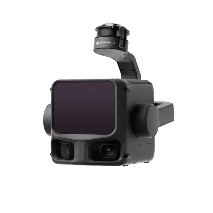
Capability Snapshot
LiDAR Range
Up to 950 m
Long-range sensing even on low-reflectivity objects, according to DJI's product description.
RGB Cameras
Dual 100MP
High-resolution mapping cameras support visual context and deliverables.
Coverage
Up to 100 km²/day
Designed for large-scale geospatial acquisition efficiency.
Workflow
End-to-end
Pairs with D-RTK 3 and DJI software for survey deliverables.
Key Capabilities
1535nm long-range LiDAR for high-accuracy 3D data capture
Strong penetration capability for terrain and vegetation workflows
Dual 100MP RGB mapping cameras accelerate data collection
High-precision POS supports geospatial accuracy
Pairs with D-RTK 3 and DJI Enterprise software for end-to-end surveying
Typical Applications
Planning Notes
- Plan control, calibration, flight altitude, and processing workflow before capture
- Use qualified survey procedures where accuracy requirements are contractual
- Confirm compatible aircraft, D-RTK setup, and software processing requirements
- Large datasets require storage, computing, and QA planning
Related Products
More DJI Payload
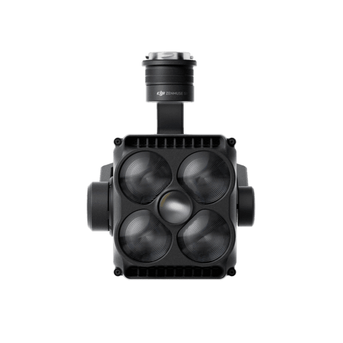
Zenmuse S1
DJI spotlight payload using LEP technology for high brightness, long illumination distance, and multiple lighting modes.
View details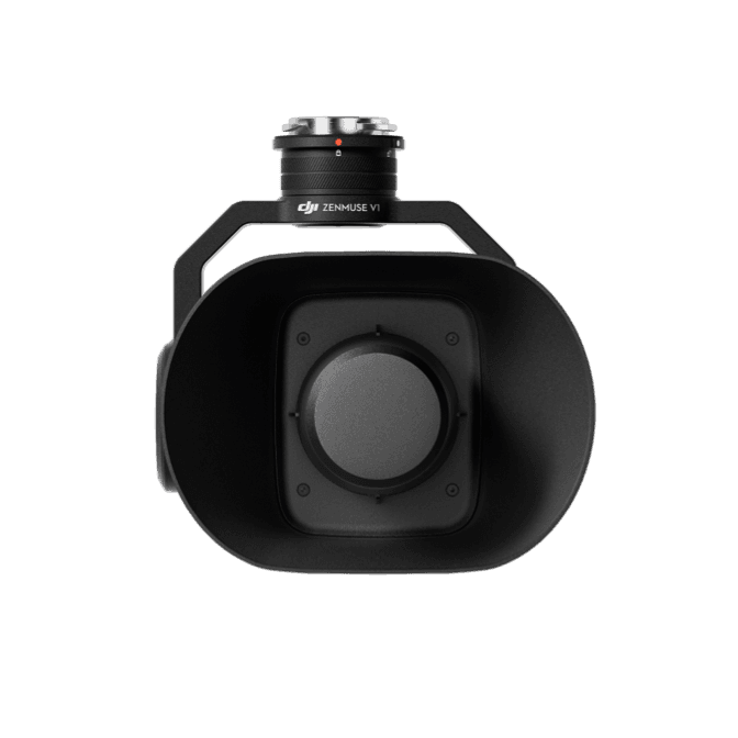
Zenmuse V1
DJI speaker payload with high volume, long broadcast distance, and multiple broadcast modes for public safety and rescue operations.
View details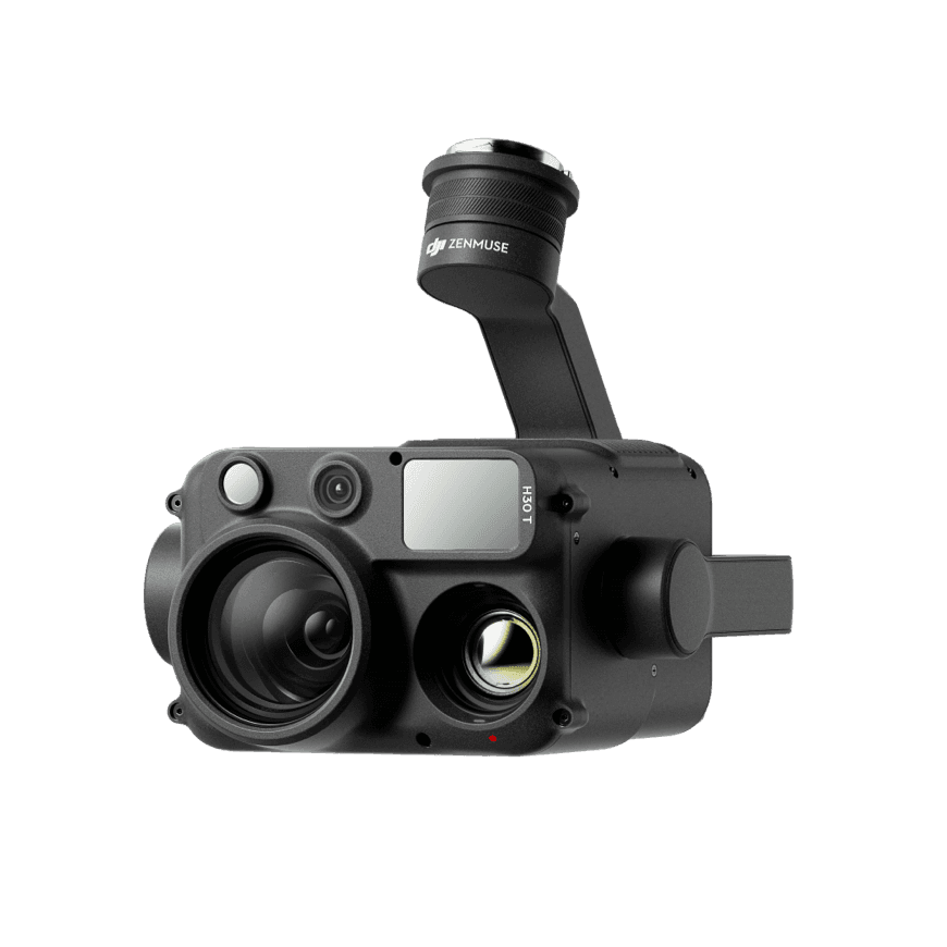
Zenmuse H30 Series
Flagship all-weather multi-sensor payload integrating wide, zoom, thermal, laser range finder, and NIR auxiliary light modules.
View detailsNeed help choosing Zenmuse L3?
MIRS can help match the platform, payload, software, and deployment workflow to your Singapore operation.