01
Project Photography
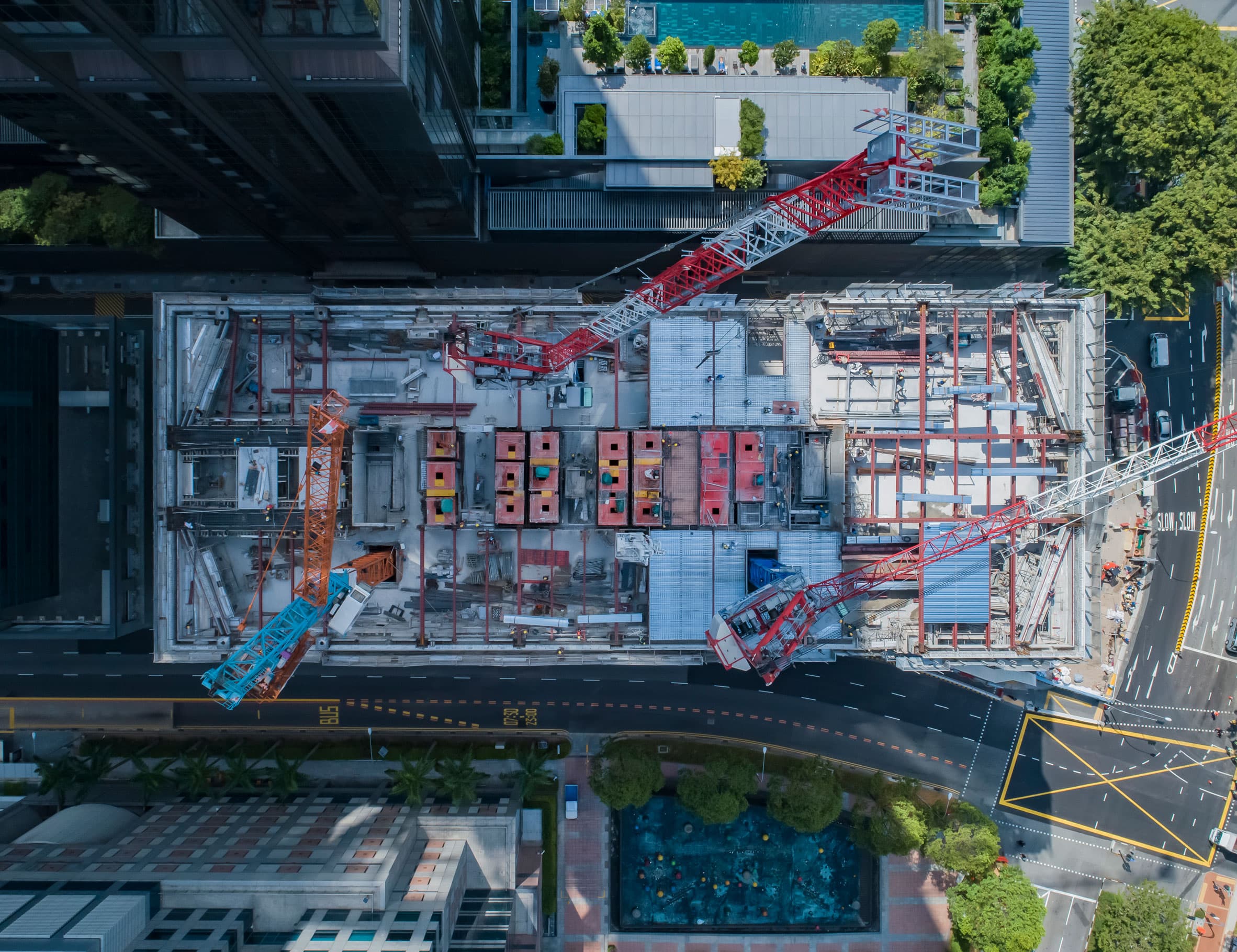
High-resolution aerial images up to 20 megapixels help project managers, civil engineers, builders, and developers track site changes from the start to completion of a project.
- Aerial images provide reliable visual data for timeline, budget, and investor reporting.
- Completed project photo records can be compiled into a time-lapse video overview.